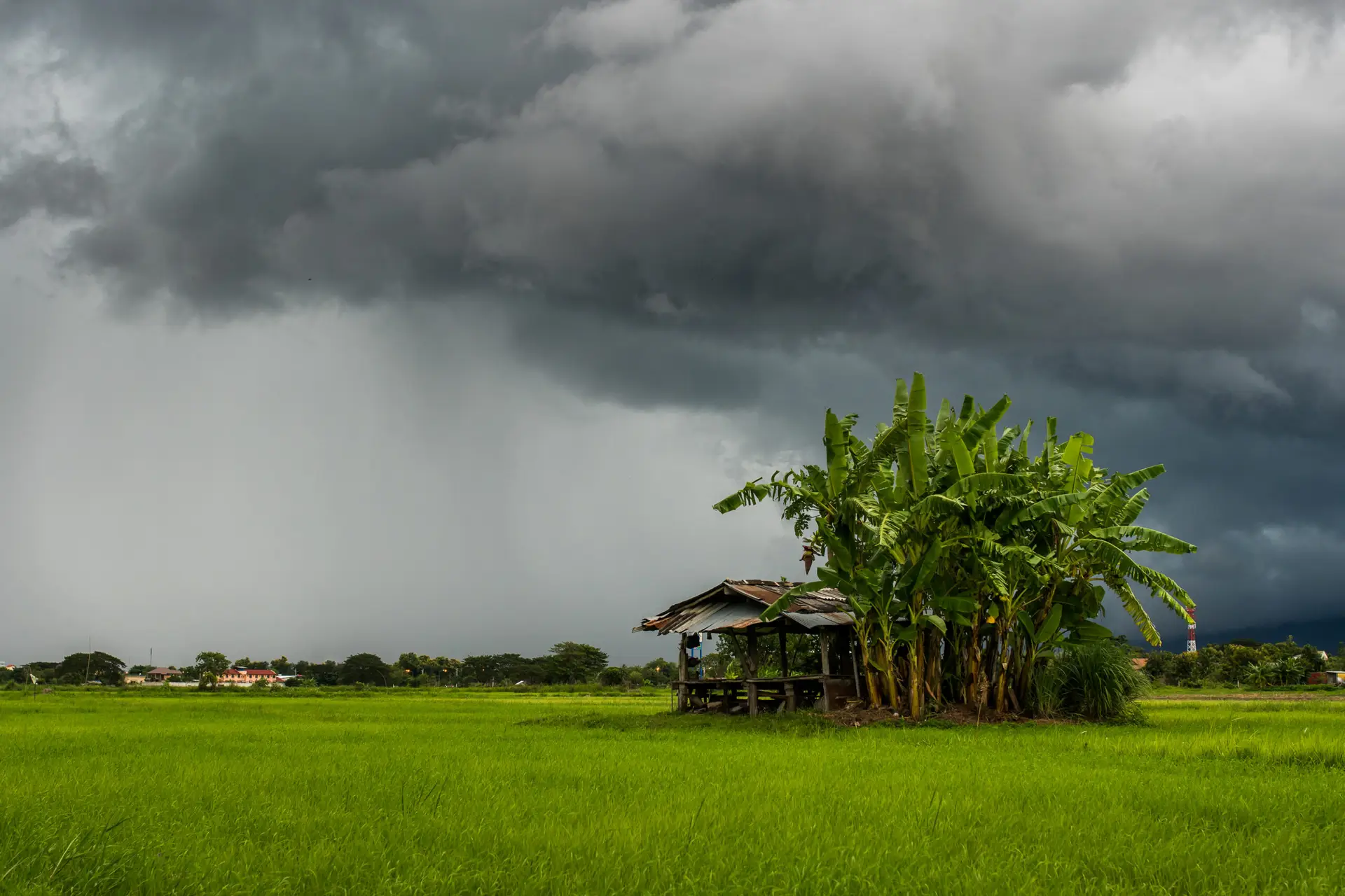
An Exceptionally Wet Southwest Monsoon
The 2025 southwest monsoon has been one of the wettest in recent years. Across India, rainfall was about eight percent higher than the long-term average. In states such as Punjab and Himachal Pradesh, totals were more than forty percent above normal. The impact was severe: villages were submerged, farmland was damaged, and rivers burst their banks. Beyond India, the heavy rains also hit Pakistan, Nepal, and parts of Southeast Asia. Deadly floods forced mass evacuations and disrupted daily life. In the Himalayas, hundreds of extreme rainfall events were recorded, the highest number in the past five years.
Why Was the Monsoon So Intense?
Several factors explain why the 2025 season turned out so fierce. Sea surface temperatures in the Bay of Bengal and the Arabian Sea were warmer than usual, adding extra moisture to the atmosphere. This fueled stronger and more persistent storms. Climate change amplified the effect, since a warmer atmosphere can hold more water vapor, which increases the chance of extreme downpours. On top of that, a series of low-pressure systems over the Bay of Bengal slowed the withdrawal of the monsoon. As a result, the wet period lasted longer and the damage increased.
The Shift Toward the Northeast Monsoon
Now the southwest winds are retreating, and weather patterns across Asia are beginning to shift. Northern and central India are moving into a cooler and drier phase. In southern India, however, the arrival of the northeast monsoon marks the start of the region’s most important rainy season, bringing water that the southwest monsoon often fails to deliver. In the Philippines, the same wind shift signals the arrival of Amihan. This period is known for cooler, drier air that replaces the hot and humid conditions of Habagat. Yet the Bay of Bengal remains at risk. Tropical cyclones can still form in October and November, releasing heavy rainfall and destructive winds.
What Lies Ahead
The transition of the monsoon is much more than a meteorological curiosity. It shapes food production, public safety, and the lives of hundreds of millions of people. After an exceptionally wet summer, communities now prepare for a new season. The balance is shifting from relentless rainfall to cooler and drier conditions. Still, the long-term outlook is uncertain. A warming climate continues to alter both the intensity and the predictability of the monsoon, raising urgent questions for the future.